The Practical Uses
Photogrammetry
Previously, measurements had to be taken on the ground with a laser scanner, but now they can be taken from the sky with camera-mounted drones. This way, measurements are often faster and more precise than those taken on the ground.
A drone can easily fly over a large area and measure it perfectly. The resulting 3D models can hardly be distinguished from reality -experts talk about “textured 3D polygonal models.”
Thermal Imaging
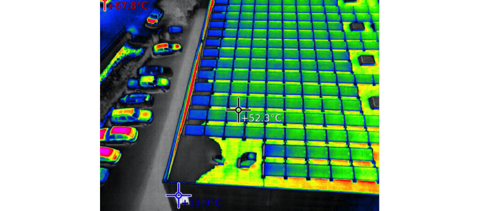
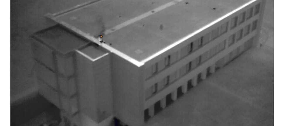
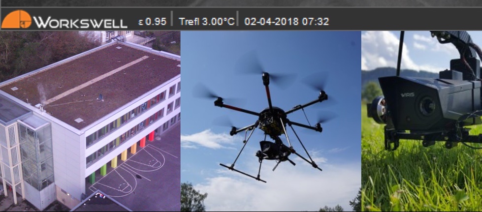
With a thermal imaging camera, the AIR6 drone can quickly check whether your business is throwing money away on heat loss and verify that every solar cell on your roof is functioning properly. Our thermal imaging system of choice is based on the WORKSWELL WIRIS 640. This system can also used to evaluate facilities, buildings or flat roofs to assess their energy efficiency by professionals. The Radiometric datas of the videos or photos are saved and GPS georeferenced, so they can used for a thermogram or in survey software for 2D-3D orthophotos. Contact us for a complete description of this impressive solution.
Inspection of Power Lines
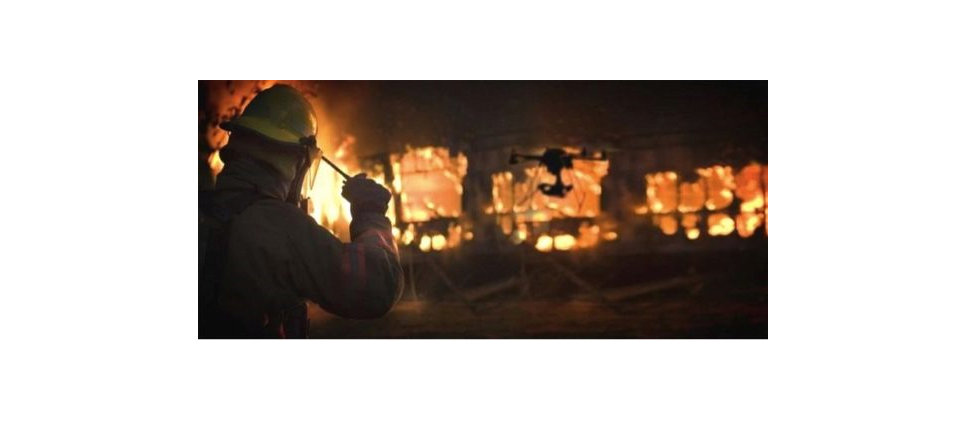
Search & Rescue / Emergency Management
Building and object monitoring; Border Defense ready to protect, noiseless flight by day and night; Emergency Management; SAR Search & Rescue. Every minute a matter of life or death! But as often police or rescue helicopters are busy occupied on other missions, or due to bad weather or technical reasons not to use. Not every helicopter is equipped with thermal imaging technology. Our thermal imaging system of choice is based on the WORKSWELL WIRIS 640 system. It is developed around 2 cameras : one thermal imaging IR camera with a resolution of 640×512 pixels with a temperature sensitivity of 0.3C° and a range from -40C° up to 1500C° and a digital RGB camera with a high resolution of 1600×1200 pixels with LiveView.
An area of approximately of 10 hectares can be searched in a single pass at any time with our flying robots. Live and without delay, the search can be traced to one or more mobile monitors with battery supply. GPS data of the person found to be radioed to the search teams.
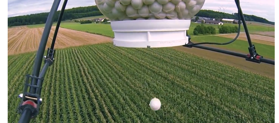
Agriculture and Forestry
Monitoring inventory, growth, and crop health
Quantifying a harvest or herd, surveying crop failure, recognizing illness and pest infestation – all from the sky with an AIR6.
Aerial Surveying and Measurement
New possibilities with 3D aerial scans. Drones can help with construction planning, raw materials extraction, and even archeology. Our camera of choice is the Sony A6300 with 6k photo and 4k video. Further bespoke developments of other high-end cameras are possible.
Inspection from the sky
Where people used to make difficult climbs, a revolution is taking place. An AIR6 flight robot enables inspection of: utility poles, wind turbines, dams, bridges, construction sites, smoke stacks, and industrial roofs from the sky and makes high resolution recordings and no one has to climb up or rappel down anything or expose himself to danger. Plus, inspections can take place during the normal course of business, so there’s no need to shut down a power grid or close a bridge.