.jpg)
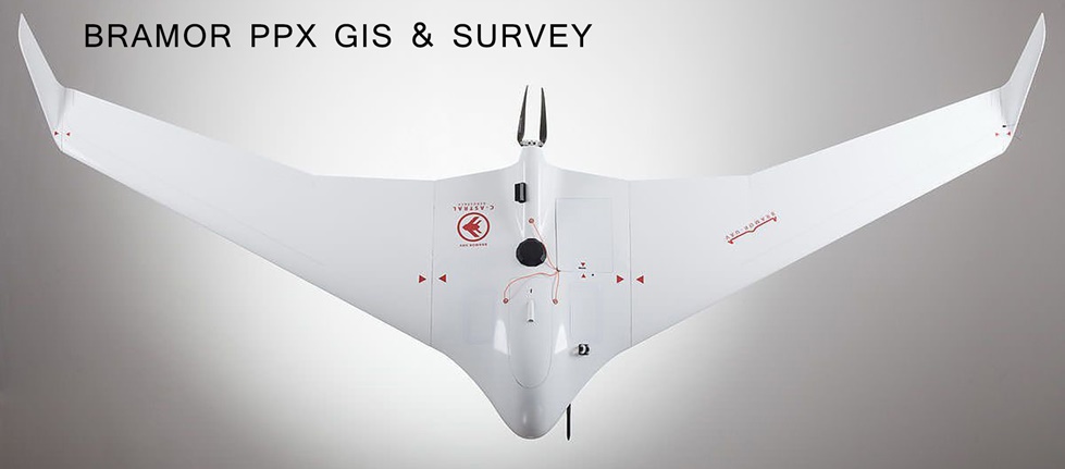
BRAMOR ppX - GIS & Survey
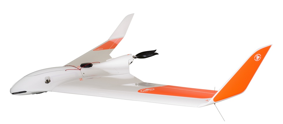
The BRAMOR PPX is a new model completing the whole range of fixed-wing UAV from C-Astral Aerospace Ltd. The BRAMOR ppX is the ultimate drone manufactured in kevlar and carbone fiber.
The BRAMOR ppX (GNSS PPK – Post Processing Kinematic) UAS is ideally suited for surveying and remote sensing applications that need a fast high precision set of results, down to sub-centimeter GSD level also in the absence of a grid of ground control points.
APPLICATIONS
SURVEYING AND REMOTE SENSING,
INFRASTRUCTURE CONTROL,
PRECISION AGRICULTURE,
FLOOD MONITORING,
OPEN PIT MINING,
CLASSICAL ISR,
SEARCH AND RESCUE,
IED CHANGE DETECTION,
WILDFIRE MANAGEMENT,
CIVIL DEFENSE,
FIRE CONTROL,
ECOLOGICAL MONITORING AND SENSING
DIMENSIONS - WEIGHT
Wingspan: 230 cm
Length: 96 cm
Central length: 67 cm
T/O Weight: 4,7 kg
FEATURES
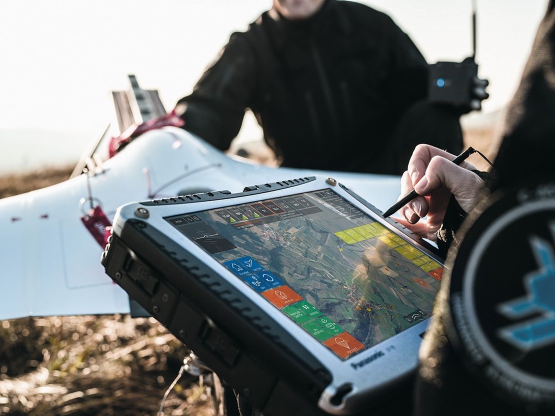
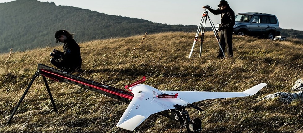
100% Autonomous
Automatic parachute landing
Orography capable flight planning with GSD maintenance over slopes, hills and valleys
Safe catapult launch
Wind resistance 30 knots
Operational temp -25°C to +45°C
Compatible with RINEX Base dataOne flight coverage estimation:
32 km2, 800 m AGL, 10 cm GSD
2 km2, 200 m AGL, 2,6 cm GSD
ppX Specifications
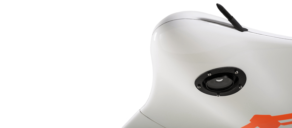
UAV Location accuracy down to 0,6 cm ≥ GSD sub cm @ 70m AGL
Onboard survey grade L1&L2, (L5 ready) GNSS receiver
GPS, Glonass
Optional: Beidou, Galileo ready
ppX Survey modes
Known point base station
Unknown point base reference Station ≥ Virtual Reference Station